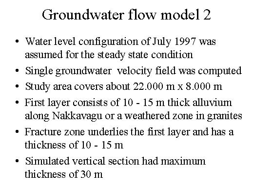
So a single groundwater velocity field was computed and the entire study-area covers about 22 kilometres by 8 kilometres and the first layer thickness is 10 to 15 meters and along Nakkavagu or a weathered zone and the granites.
The fractured zone underlies the first layer and has a thickness of 10 to 15 meters.
The two total thickness of this meter vertical section is maximum of about 30 meters.