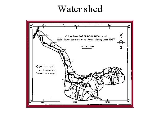
And for making any groundwater model we have to calibrate the groundwater elevation controls. You can see the groundwater elevation controls water table is about 490 meters about mean see level, 495, 500, 505, 510. You see the flat slopes, here indicate high permeability, whereas the steep slopes you find in the upstream area indicates slower permeability of the formations, whereas in the granitic terrain further steep slopes are found.